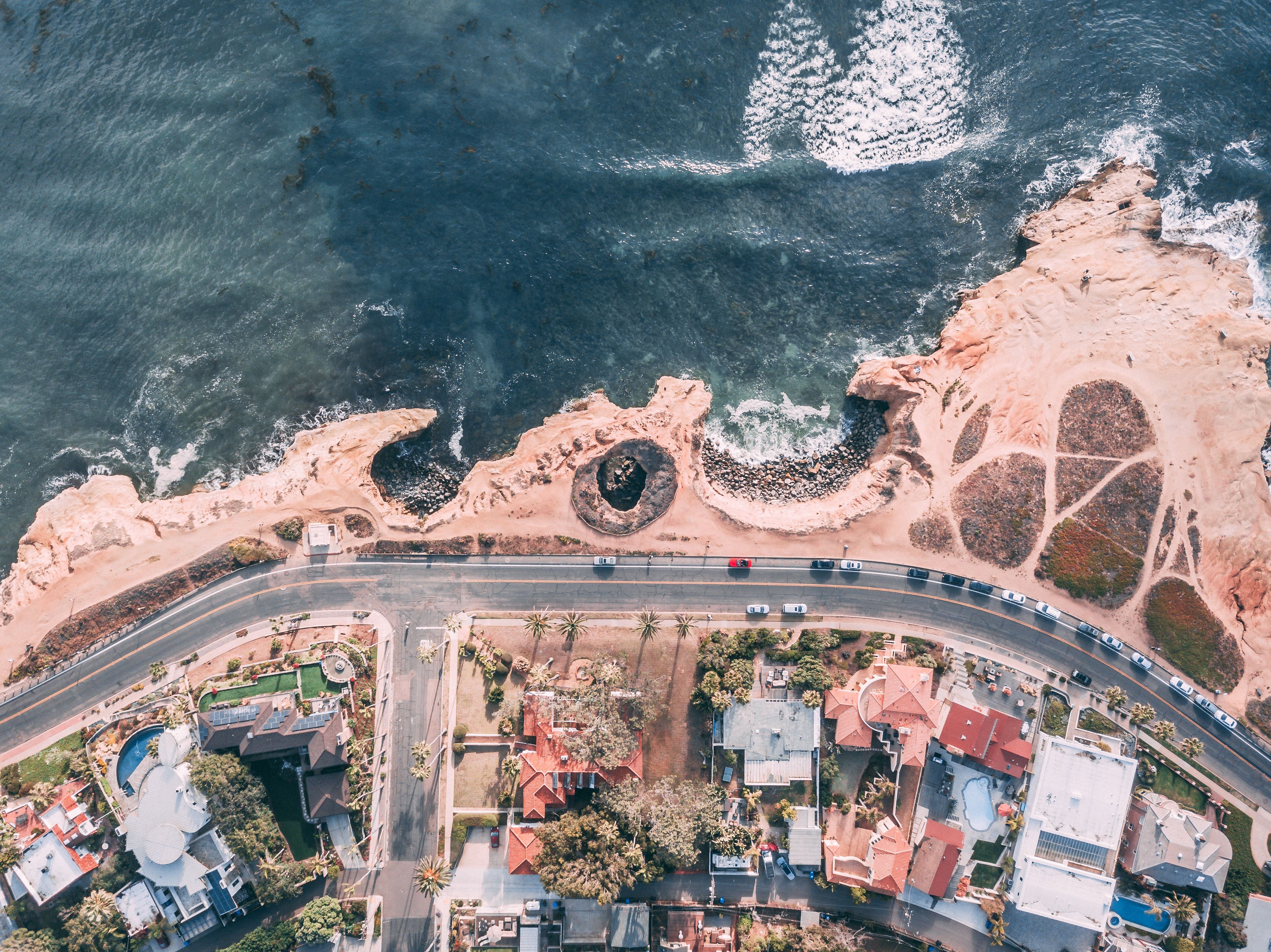
Data Annotation for Aerial Imagery and Use Cases
Satellite imagery contains a tremendous amount of information.Annotating an image is the process of adding information to the image.Proper annotation of satellite imagery adds a great deal of value to the image by collecting, preserving and sharing knowledge about the scene. Added information can take many forms including labels for objects, tags describing the semantic content of the image, or segmented and labeled regions.
Many aerial imaging companies are trying to solve some of the hardest problems in the world in areas such as deforestation, agriculture, home insurance, construction, security, and others. In most of these applications, the objects from the satellite or drone imagery footage are far from having rectangular shapes. Instead of rectangular localization or counting the number of objects in the space (using bounding boxes), companies often need tools for calculating the exact pixels from the aerial image data.
Image annotation for satellite images is available for all types of techniques to detect or recognize the different types of objects from observed from the aerial view. Different types of image annotation techniques are used to annotate the different satellite images with right accuracy.
Aerial image annotation involves labeling satellite images or images taken by aircraft and UAVs. These images are then used to train computer vision models to analyze key features of a given environment.
- Annotation for Agriculture imagery – In agriculture field image annotation helps to make crops and other things recognizable to make the right decision without use of humans. Annotating aerial images of farms will help users to find how much land is devoted to each crop, how healthy the plants are, and how quickly they are growing.
- Annotation for shipping industry – Very high resolution satellite data is a core component of marine monitoring services, and provides a cost-effective method for monitoring large and remote areas. Data annotation of such critical data is important to achieve Identification of individual vessels And get important details such as ship dimensions, orientation and location.
- Annotation for Urban houses – Urban planning to make cities more livable, and sustainable. All types of images taken from the satellite or space heights can be annotated to recognize the man made structures like houses, huts and buildings for urban management and smart city layout and planning management.
- Annotation for Construction sites – Inspections are now characterised by drones, especially in industries. We label people, objects and other field equipment in aerial images captured by drones using various annotation techniques.
- Annotation for disaster management – Aerial images can be labeled according to their portrayal of roads, buildings, ports, and more. These images can be used to determine real-time road conditions and the extent to which certain structures are compromised, allowing first responders to navigate safely and act quickly.
TagX Annotation Services
We provide you with high-quality training data by integrating our human-assisted approach with machine-learning assistance. Our text, image, audio, and video annotations will give you the courage to scale your AI and ML models. Regardless of your data annotation criteria, our managed service team are ready to support you in both deploying and maintaining your AI and ML projects.


